
When you deploy new energy meters, you want to know the installation position. It's helpful for various purposes like quick identification of outage areas and visualization in a GIS (Global Information System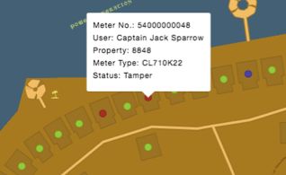 The Potential of Geo-Tagging).
First approaches have been done a long time ago with the auto-registration as part of the IDIS use cases. IDIS is a protocol add-on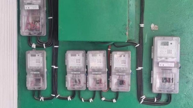 Smart Meter Protocols for Interoperability for DLMS
 What is DLMS/COSEM ? meters.
With auto-registration, you will know which data concentrator is communicating with the energy meter. Since a data concentrator is capturing all meters behind a distribution transformer, you will have in average and by experience in different countries around 300 energy meters with the same location. It's already helpful, but not very accurate.
Another option is to map the customer location from the billing system with the GIS. It's definitely a good approach when the billing system is good maintained.
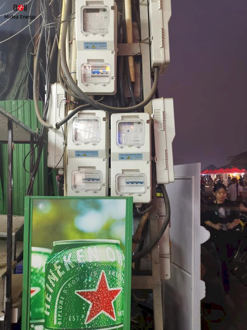
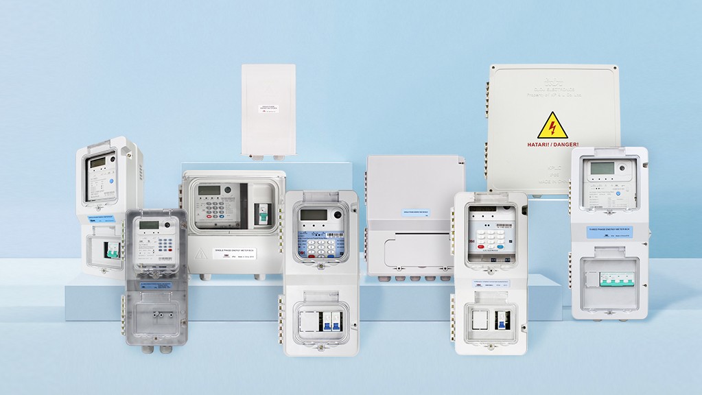 Our Range of High-Quality Enclosures
It's also the best choice when you have outdoor installations on poles or like in the photo.
I saw recently a request to capture the meter position by 0.5 m. Regardless of the real information content, which options do we have?
As we are on site, we can capture the longitude and latitude with a GPS receiver in the deployment tool. It's basically an android application on a tablet or cellphone.
GPS needs a view on the clear sky, in basement 2 this is hard to achieve. So the cellphone solutions are based on A-GPS (assisted GPS). The position is fixed based on the location of the telecommunication cells as well.
How accurate can this be?
Literature is stating a position accuracy of 5 to 10 meters. I think, it's more like 20 meters. It also depends on the map service.
A quick example from the office, screenshots taken within one minute without changing the location.
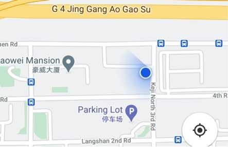
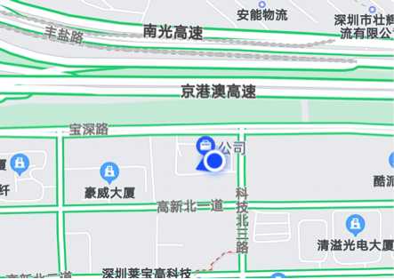
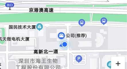
From this three screenshots Amap delivers the closed result. But, it might be different tomorrow.
What do we learn?
Capturing the position during meter installation and regular accuracy verification can be useful as additional information for utilities. But the positioning accuracy will not reach 0.5 meters without additional systems. For aviation, you can have for example differential GPS solutions like EGNOS (European Geostationary Navigation Overlay Service), horizontal resolution 3 m. Or you can establish additional send/receivers, popular for agriculture.
What is your idea? How do you capture the meter location?
Editor's note: This article was originally published in April 2021 and has been updated for comprehensiveness.


Hi all I looking for .modul communication MGB1 HX3806-1
This is an item from Hexing. We are not supporting their products.